Drone Real Estate Photography in Cape May County, NJ
Why listings need aerials
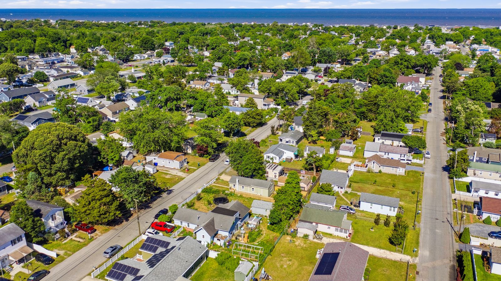
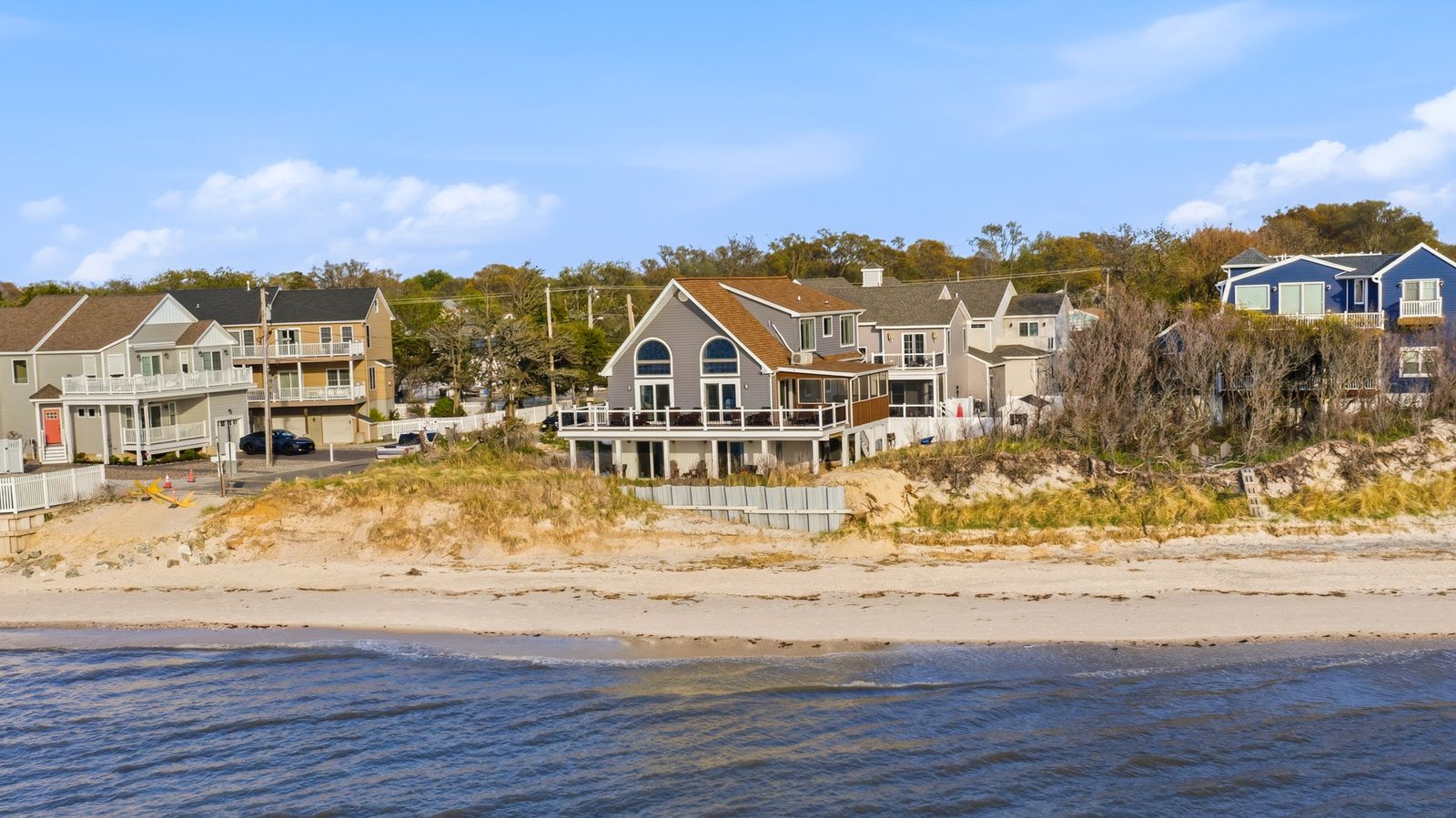
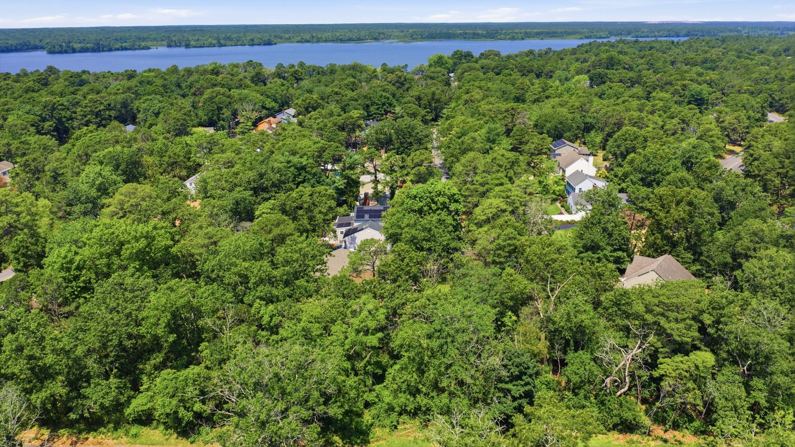
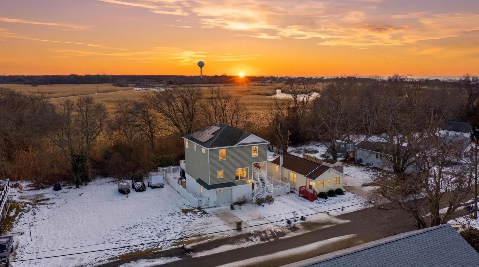
A ground photo shows a house. A drone photo shows the property: where the lot ends, how big the yard is, what sits behind the house and what is around it. In Cape May County that last part often matters most. Buyers want to know how far the beach or the bay is, whether the lot backs up to woods, and what the street looks like. An aerial answers all of that in one image.
What we fly on every shoot
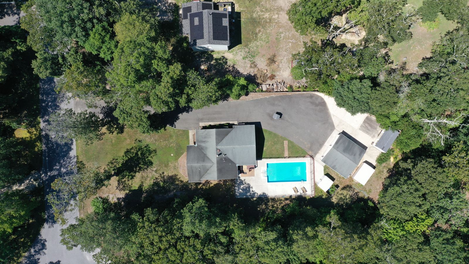
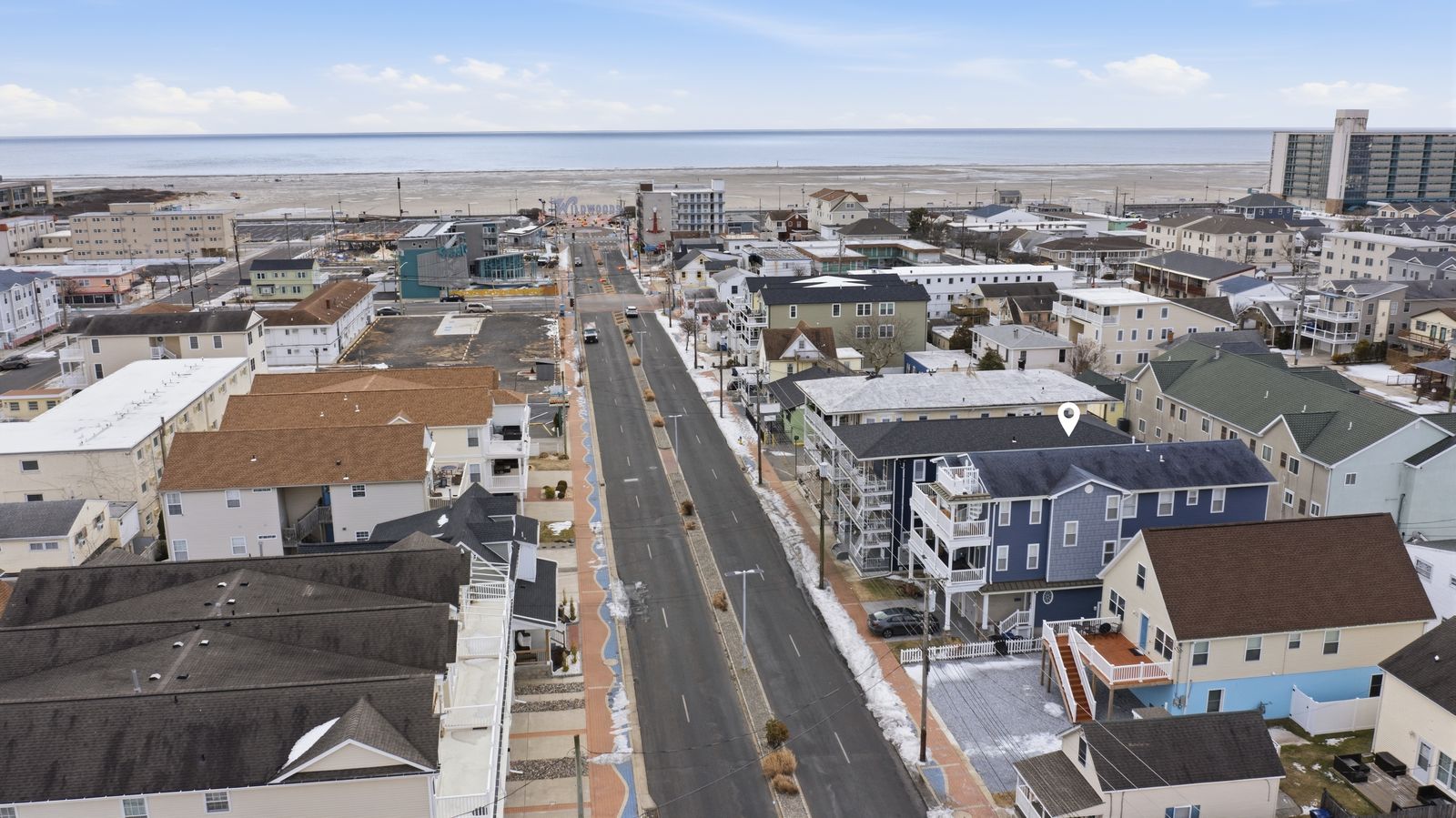
Every package includes 10–15 drone photos, and we plan them as a set rather than a few random angles. A front view from above shows the house, driveway and yard together. A top-down view shows the whole lot, the roofline and the outbuildings, which is the shot buyers zoom into. A wide aerial shows the neighborhood, and when there is water in reach we point the camera at it: toward the Delaware Bay from Villas and North Cape May, down the street toward the beach in Wildwood, over the treetops toward the lake in Millville. Showcase adds a 60-second exterior drone video, and Premiere adds a 1–2 minute cinematic walkthrough.
Edited like the rest of the shoot
Aerials go through the same editing as the interiors: color correction, straightened horizons and skies that match the ground shots, so the drone photos sit naturally in the MLS gallery.